Houses on south side of River Wear
Introduction
The photograph on this page of Houses on south side of River Wear by Trevor Littlewood as part of the Geograph project.
The Geograph project started in 2005 with the aim of publishing, organising and preserving representative images for every square kilometre of Great Britain, Ireland and the Isle of Man.

There are currently over 7.5m images from over 14,400 individuals and you can help contribute to the project by visiting https://www.geograph.org.uk
Houses on south side of River Wear
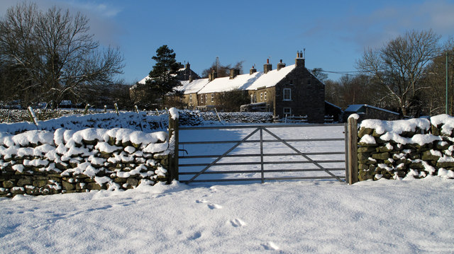
Image: © Trevor Littlewood Taken: 22 Dec 2009
The short terrace of houses is on the S side of the R. Wear between Westgate and Daddry Shield and is seen from the Weardale Way approaching from the E.
Images are licensed for reuse under creativecommons.org/licenses/by-sa/2.0
Image Location
Latitude
54.736334
Longitude
-2.155429