Southall Farm House
Introduction
The photograph on this page of Southall Farm House by Gordon BEACH as part of the Geograph project.
The Geograph project started in 2005 with the aim of publishing, organising and preserving representative images for every square kilometre of Great Britain, Ireland and the Isle of Man.

There are currently over 7.5m images from over 14,400 individuals and you can help contribute to the project by visiting https://www.geograph.org.uk
Southall Farm House
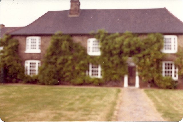
Image: © Gordon BEACH Taken: Unknown
View of house from Wennington Road,bduring the Second World a German bomb dropped to right and rear of the house, the farmer at that time named Gunnery let the crater; about 25 feet in diameter, fill with water and stocked it with Carp.
Images are licensed for reuse under creativecommons.org/licenses/by-sa/2.0
Image Location
Latitude
51.512729
Longitude
0.206944