National Cycle Network route 27
Introduction
The photograph on this page of National Cycle Network route 27 by Rod Allday as part of the Geograph project.
The Geograph project started in 2005 with the aim of publishing, organising and preserving representative images for every square kilometre of Great Britain, Ireland and the Isle of Man.

There are currently over 7.5m images from over 14,400 individuals and you can help contribute to the project by visiting https://www.geograph.org.uk
National Cycle Network route 27
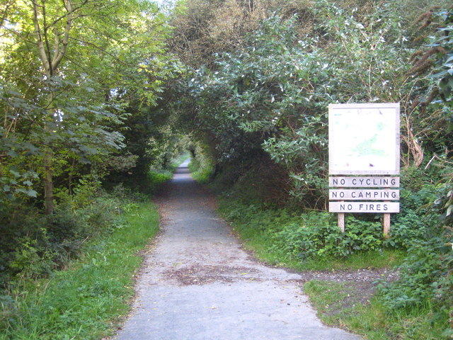
Image: © Rod Allday Taken: 26 Sep 2010
Route 27 is part of the Devon Coast to Coast route which runs from Ilfracombe to Plymouth. This section follows the course of the old Ilfracombe railway branch. The rather puzzling sign on the right refers to cycling within the adjacent nature reserve, which is accessed via the path on the right.
Images are licensed for reuse under creativecommons.org/licenses/by-sa/2.0
Image Location


Leaflet Map data © OpenStreetMap
Latitude
51.195647
Longitude
-4.12782