Raglan Baptist Church
Introduction
The photograph on this page of Raglan Baptist Church by Jaggery as part of the Geograph project.
The Geograph project started in 2005 with the aim of publishing, organising and preserving representative images for every square kilometre of Great Britain, Ireland and the Isle of Man.

There are currently over 7.5m images from over 14,400 individuals and you can help contribute to the project by visiting https://www.geograph.org.uk
Raglan Baptist Church
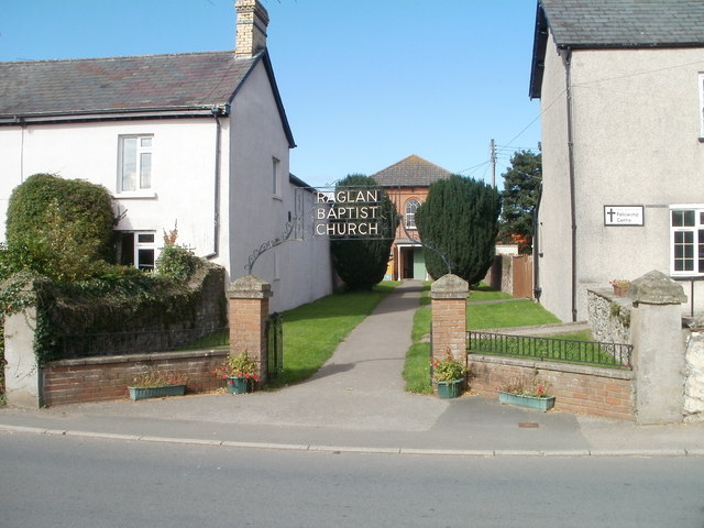
Image: © Jaggery Taken: 26 Sep 2010
The church is set back 40 metres from the NW side of Usk Road. The Fellowship Centre (used as a church hall) is next door, on the right. http://www.geograph.org.uk/photo/2087719
Images are licensed for reuse under creativecommons.org/licenses/by-sa/2.0
Image Location
Latitude
51.763957
Longitude
-2.85632