Old Oxted
Introduction
The photograph on this page of Old Oxted by Chris Heaton as part of the Geograph project.
The Geograph project started in 2005 with the aim of publishing, organising and preserving representative images for every square kilometre of Great Britain, Ireland and the Isle of Man.

There are currently over 7.5m images from over 14,400 individuals and you can help contribute to the project by visiting https://www.geograph.org.uk
Old Oxted
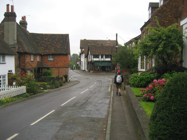
Image: © Chris Heaton Taken: 14 Sep 2010
This village lies just to the west of the town of Oxted, and is where the original settlement was situated.
Images are licensed for reuse under creativecommons.org/licenses/by-sa/2.0
Image Location


Leaflet Map data © OpenStreetMap
Latitude
51.251986
Longitude
-0.017371