Field of barley
Introduction
The photograph on this page of Field of barley by Kate Jewell as part of the Geograph project.
The Geograph project started in 2005 with the aim of publishing, organising and preserving representative images for every square kilometre of Great Britain, Ireland and the Isle of Man.

There are currently over 7.5m images from over 14,400 individuals and you can help contribute to the project by visiting https://www.geograph.org.uk
Field of barley
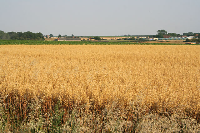
Image: © Kate Jewell Taken: 25 Jul 2006
This square is very busy: Gipple Farm straight ahead, Mushroom Farm to the right and Syston Grange Farm out of shot to the right. Heath Lane and RAF Barkston Heath are off to the left. Beyond the barley and kale there is a maze of tracks and farm roads: you could call it an agri-industrial estate!
Images are licensed for reuse under creativecommons.org/licenses/by-sa/2.0
Image Location
Latitude
52.953209
Longitude
-0.565071