Wardale Farm
Introduction
The photograph on this page of Wardale Farm by Martin Dawes as part of the Geograph project.
The Geograph project started in 2005 with the aim of publishing, organising and preserving representative images for every square kilometre of Great Britain, Ireland and the Isle of Man.

There are currently over 7.5m images from over 14,400 individuals and you can help contribute to the project by visiting https://www.geograph.org.uk
Wardale Farm
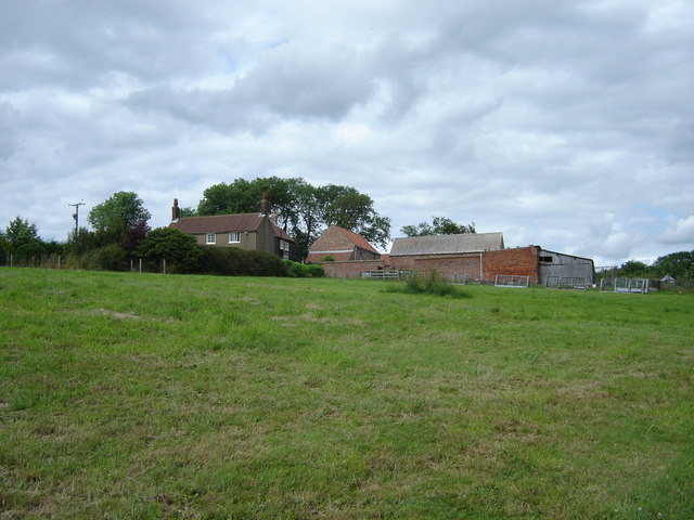
Image: © Martin Dawes Taken: 8 Jul 2009
The footpath through Wardale from the north goes in at Wold House Farm and comes out here at Wardale Farm before going down the farm road to the minor road to Settrington.
Images are licensed for reuse under creativecommons.org/licenses/by-sa/2.0
Image Location
Latitude
54.121259
Longitude
-0.699304