Groesonen Road branches away from the A40
Introduction
The photograph on this page of Groesonen Road branches away from the A40 by Jaggery as part of the Geograph project.
The Geograph project started in 2005 with the aim of publishing, organising and preserving representative images for every square kilometre of Great Britain, Ireland and the Isle of Man.

There are currently over 7.5m images from over 14,400 individuals and you can help contribute to the project by visiting https://www.geograph.org.uk
Groesonen Road branches away from the A40
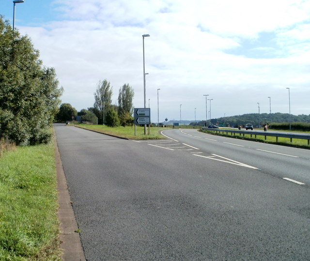
Image: © Jaggery Taken: 26 Sep 2010
On the left is the old road to Monmouth, here named Groesonen Road, which was the A40 before the construction of the modern dual-carriageway A40.
Images are licensed for reuse under creativecommons.org/licenses/by-sa/2.0
Image Location
Latitude
51.768557
Longitude
-2.841915