Nant-y-gedd at Parc Slip Nature Park
Introduction
The photograph on this page of Nant-y-gedd at Parc Slip Nature Park by eswales as part of the Geograph project.
The Geograph project started in 2005 with the aim of publishing, organising and preserving representative images for every square kilometre of Great Britain, Ireland and the Isle of Man.

There are currently over 7.5m images from over 14,400 individuals and you can help contribute to the project by visiting https://www.geograph.org.uk
Nant-y-gedd at Parc Slip Nature Park
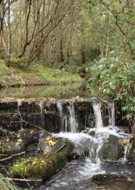
Image: © eswales Taken: 24 Sep 2010
A picture showing one of two small waterfalls seen from the path which runs alongside the north-south stretch of this stream at Parc Slip Nature Park. The sources of the stream lie on the slopes of Mynydd Baedan, just to the north of the Nature Park. Maps suggest that downstream of here its waters flow into Nant Cynffig, which in turn meets the River Ogmore at Aberkenfig.
Images are licensed for reuse under creativecommons.org/licenses/by-sa/2.0
Image Location
Latitude
51.542077
Longitude
-3.626658