St Wilfred's Parish Church
Introduction
The photograph on this page of St Wilfred's Parish Church by David Dixon as part of the Geograph project.
The Geograph project started in 2005 with the aim of publishing, organising and preserving representative images for every square kilometre of Great Britain, Ireland and the Isle of Man.

There are currently over 7.5m images from over 14,400 individuals and you can help contribute to the project by visiting https://www.geograph.org.uk
St Wilfred's Parish Church
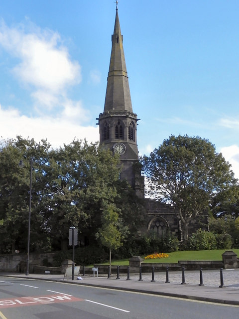
Image: © David Dixon Taken: 25 Sep 2010
Grade I listed church, viewed from Rectory Lane. http://www.wigan.gov.uk/NR/rdonlyres/8772E80C-D50F-4797-8F03-AE6314AED127/0/StandishPartFive750kb.pdf gives a history of the church, together with a description of its architectural features.
Images are licensed for reuse under creativecommons.org/licenses/by-sa/2.0
Image Location
Latitude
53.587091
Longitude
-2.661628