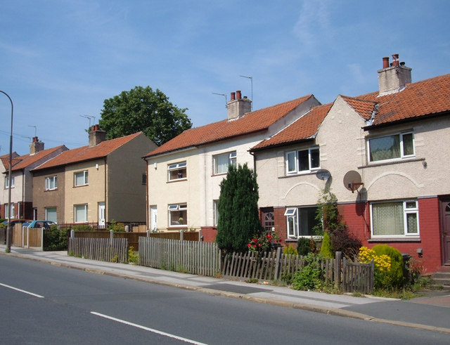
Southroyd Park, Pudsey
Introduction
The photograph on this page of Southroyd Park, Pudsey by michael ely as part of the Geograph project.
The Geograph project started in 2005 with the aim of publishing, organising and preserving representative images for every square kilometre of Great Britain, Ireland and the Isle of Man.
There are currently over 7.5m images from over 14,400 individuals and you can help contribute to the project by visiting https://www.geograph.org.uk

Image: © michael ely Taken: 25 Jul 2006
These houses were built by the local authority between the two World Wars as part of a small housing estate. They are two-up, two-down dwellings with a coal store and bathroom off the kitchen; the sitting room was heated by a cast iron cooking range with back boiler; the lavatory was upstairs. At times the kitchen used to "run wick wi' black-clocks". No housing development is shown here on the 1940s OS map. Here we are at the southernmost extent of Pudsey's built-up-area quite close to Fulneck Moravian village and school.

