Bury St Edmunds, All Saints church
Introduction
The photograph on this page of Bury St Edmunds, All Saints church by Adrian S Pye as part of the Geograph project.
The Geograph project started in 2005 with the aim of publishing, organising and preserving representative images for every square kilometre of Great Britain, Ireland and the Isle of Man.

There are currently over 7.5m images from over 14,400 individuals and you can help contribute to the project by visiting https://www.geograph.org.uk
Bury St Edmunds, All Saints church
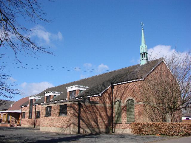
Image: © Adrian S Pye Taken: 25 Aug 2007
All Saints is situated next door to the C of E primary school surrounded by houses in the west of the town a few hundred yard west of the cemetery
Images are licensed for reuse under creativecommons.org/licenses/by-sa/2.0
Image Location
Latitude
52.243197
Longitude
0.693984