Upper Longwood - road junction
Introduction
The photograph on this page of Upper Longwood - road junction by Richard Law as part of the Geograph project.
The Geograph project started in 2005 with the aim of publishing, organising and preserving representative images for every square kilometre of Great Britain, Ireland and the Isle of Man.

There are currently over 7.5m images from over 14,400 individuals and you can help contribute to the project by visiting https://www.geograph.org.uk
Upper Longwood - road junction
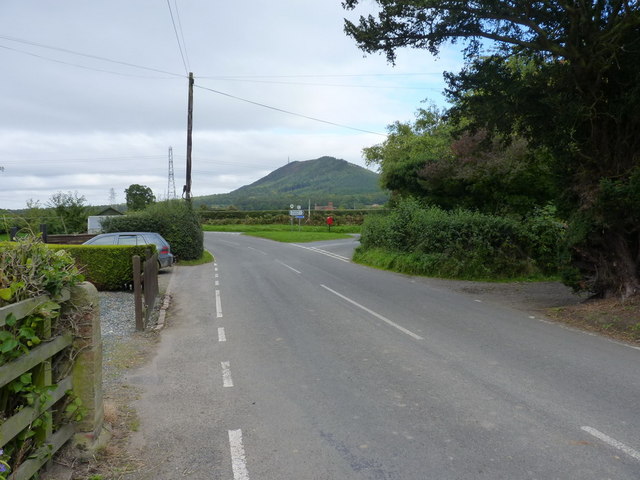
Image: © Richard Law Taken: 26 Sep 2010
Post box SY5 221 makes an appearance in the triangle of the road junction leading towards Neves Castle.
Images are licensed for reuse under creativecommons.org/licenses/by-sa/2.0
Image Location
Latitude
52.66008
Longitude
-2.586019