Lodge Cottage
Introduction
The photograph on this page of Lodge Cottage by Simon Carey as part of the Geograph project.
The Geograph project started in 2005 with the aim of publishing, organising and preserving representative images for every square kilometre of Great Britain, Ireland and the Isle of Man.

There are currently over 7.5m images from over 14,400 individuals and you can help contribute to the project by visiting https://www.geograph.org.uk
Lodge Cottage
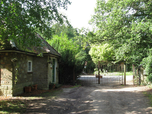
Image: © Simon Carey Taken: 18 Sep 2010
The former western lodge for Shermanbury Place. Beyond the gate is the A281.
Images are licensed for reuse under creativecommons.org/licenses/by-sa/2.0
Image Location


Leaflet Map data © OpenStreetMap
Latitude
50.952075
Longitude
-0.279035