Grassland
Introduction
The photograph on this page of Grassland by Phil Williams as part of the Geograph project.
The Geograph project started in 2005 with the aim of publishing, organising and preserving representative images for every square kilometre of Great Britain, Ireland and the Isle of Man.

There are currently over 7.5m images from over 14,400 individuals and you can help contribute to the project by visiting https://www.geograph.org.uk
Grassland
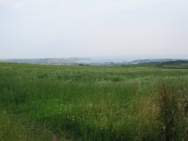
Image: © Phil Williams Taken: 2 Jul 2006
A view looking to the southeast over grassland towards Par Port and Gribbin Head in St. Austell Bay
Images are licensed for reuse under creativecommons.org/licenses/by-sa/2.0
Image Location


Leaflet Map data © OpenStreetMap
Latitude
50.386537
Longitude
-4.7163