Farmland, Upper Norwood
Introduction
The photograph on this page of Farmland, Upper Norwood by Stephen Richards as part of the Geograph project.
The Geograph project started in 2005 with the aim of publishing, organising and preserving representative images for every square kilometre of Great Britain, Ireland and the Isle of Man.

There are currently over 7.5m images from over 14,400 individuals and you can help contribute to the project by visiting https://www.geograph.org.uk
Farmland, Upper Norwood
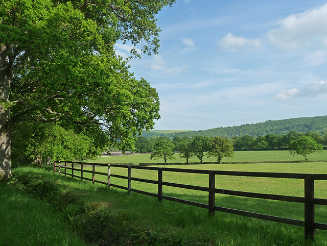
Image: © Stephen Richards Taken: Unknown
The other side of the fence is a stud farm. The South Downs provide the backdrop.
Images are licensed for reuse under creativecommons.org/licenses/by-sa/2.0
Image Location
Latitude
50.950796
Longitude
-0.662051