Children's play area
Introduction
The photograph on this page of Children's play area by Neil Owen as part of the Geograph project.
The Geograph project started in 2005 with the aim of publishing, organising and preserving representative images for every square kilometre of Great Britain, Ireland and the Isle of Man.

There are currently over 7.5m images from over 14,400 individuals and you can help contribute to the project by visiting https://www.geograph.org.uk
Children's play area
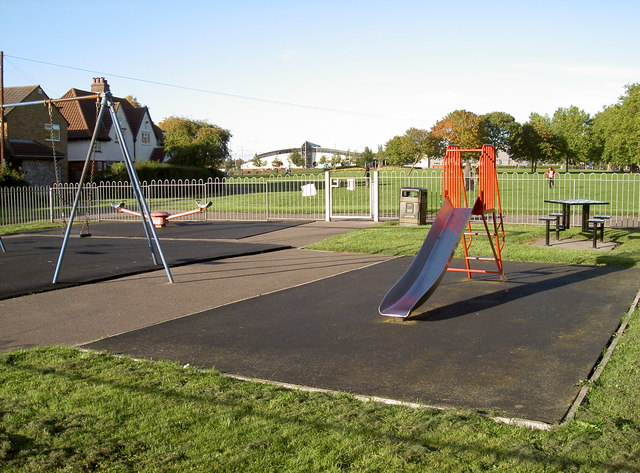
Image: © Neil Owen Taken: 25 Sep 2010
Horfield Common, Bristol. Just at the far end of the common (with its arched roof) is the sports centre, within whose bounds is a skateboard park for the slightly older children.
Images are licensed for reuse under creativecommons.org/licenses/by-sa/2.0
Image Location
Latitude
51.491474
Longitude
-2.585167