Horfield Common
Introduction
The photograph on this page of Horfield Common by Neil Owen as part of the Geograph project.
The Geograph project started in 2005 with the aim of publishing, organising and preserving representative images for every square kilometre of Great Britain, Ireland and the Isle of Man.

There are currently over 7.5m images from over 14,400 individuals and you can help contribute to the project by visiting https://www.geograph.org.uk
Horfield Common
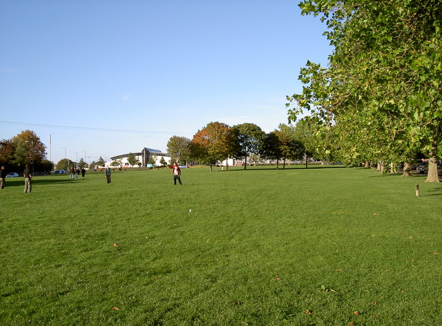
Image: © Neil Owen Taken: 25 Sep 2010
Some frisbee fun in the late September sun on Bristol's ancient common. Mentioned in the Domesday Book (as Horefelle), it has yielded small Roman and Iron Age relics, although was probably forested for much of its history.
Images are licensed for reuse under creativecommons.org/licenses/by-sa/2.0
Image Location
Latitude
51.491654
Longitude
-2.585025