River Brent
Introduction
The photograph on this page of River Brent by Derek Harper as part of the Geograph project.
The Geograph project started in 2005 with the aim of publishing, organising and preserving representative images for every square kilometre of Great Britain, Ireland and the Isle of Man.

There are currently over 7.5m images from over 14,400 individuals and you can help contribute to the project by visiting https://www.geograph.org.uk
River Brent
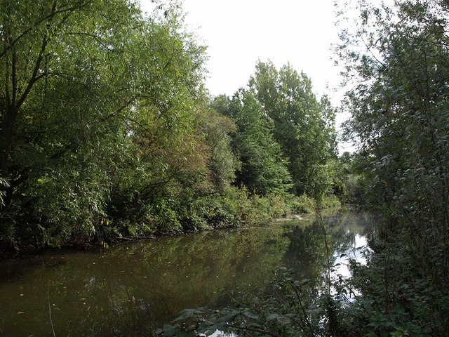
Image: © Derek Harper Taken: 20 Sep 2010
Looking downstream; the river is about to meet the Grand Union Canal. Seen from Fitzherbert Walk.
Images are licensed for reuse under creativecommons.org/licenses/by-sa/2.0
Image Location
Latitude
51.50633
Longitude
-0.343683