Track to Craigendoran Station
Introduction
The photograph on this page of Track to Craigendoran Station by Lairich Rig as part of the Geograph project.
The Geograph project started in 2005 with the aim of publishing, organising and preserving representative images for every square kilometre of Great Britain, Ireland and the Isle of Man.

There are currently over 7.5m images from over 14,400 individuals and you can help contribute to the project by visiting https://www.geograph.org.uk
Track to Craigendoran Station
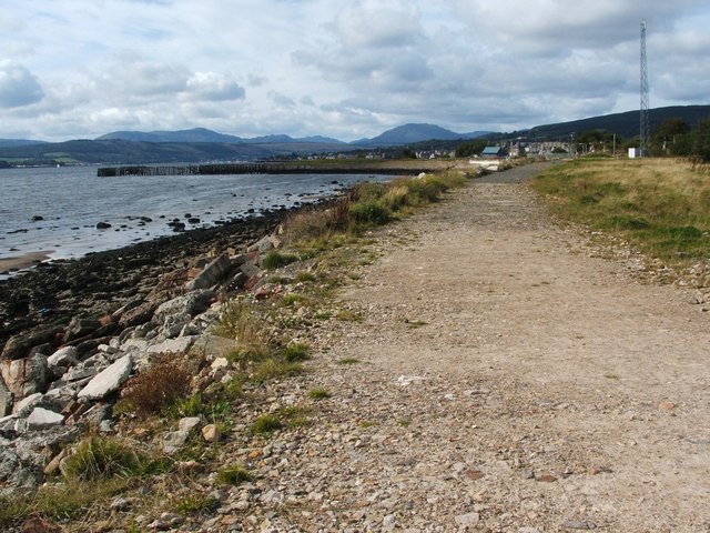
Image: © Lairich Rig Taken: 17 Sep 2010
The track leads around the land at the head of the beach, as mentioned in Image Craigendoran Station lies straight ahead along the track; the footbridge of the station can be seen in the distance. To the left, a sea wall curves out into the Firth of Clyde: Image The remains of some piers are located at its far end: Image
Images are licensed for reuse under creativecommons.org/licenses/by-sa/2.0
Image Location
Latitude
55.993304
Longitude
-4.709535