Southern Gas Networks block the footpath
Introduction
The photograph on this page of Southern Gas Networks block the footpath by Robin Webster as part of the Geograph project.
The Geograph project started in 2005 with the aim of publishing, organising and preserving representative images for every square kilometre of Great Britain, Ireland and the Isle of Man.

There are currently over 7.5m images from over 14,400 individuals and you can help contribute to the project by visiting https://www.geograph.org.uk
Southern Gas Networks block the footpath
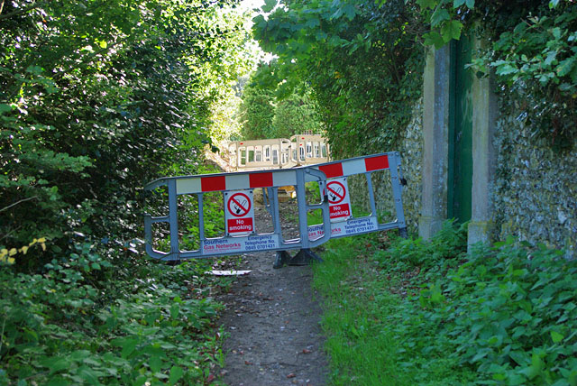
Image: © Robin Webster Taken: 25 Sep 2010
There were no official notices posted for this blockage. Fortunately there is a deviation route available to the left just behind the viewpoint, completing a small triangle with this path and Broomfield Road beyond the far barriers ahead.
Images are licensed for reuse under creativecommons.org/licenses/by-sa/2.0
Image Location
Latitude
50.930487
Longitude
-0.278693