Former farmhouse and cottage, Main Street, Ponteland
Introduction
The photograph on this page of Former farmhouse and cottage, Main Street, Ponteland by Andrew Curtis as part of the Geograph project.
The Geograph project started in 2005 with the aim of publishing, organising and preserving representative images for every square kilometre of Great Britain, Ireland and the Isle of Man.

There are currently over 7.5m images from over 14,400 individuals and you can help contribute to the project by visiting https://www.geograph.org.uk
Former farmhouse and cottage, Main Street, Ponteland
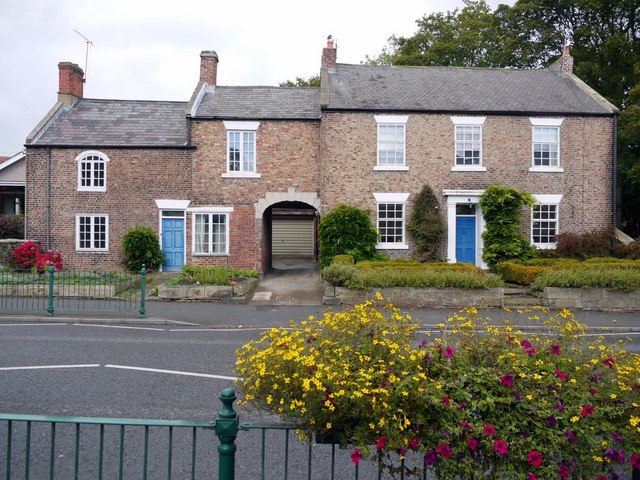
Image: © Andrew Curtis Taken: 24 Sep 2010
The farmhouse and cottage were built in the C18th and early C19th http://www.keystothepast.info/article/10339/Site-Details?PRN=N11013
Images are licensed for reuse under creativecommons.org/licenses/by-sa/2.0
Image Location
Latitude
55.049609
Longitude
-1.744224