Houses on Stewart Gate
Introduction
The photograph on this page of Houses on Stewart Gate by David Lally as part of the Geograph project.
The Geograph project started in 2005 with the aim of publishing, organising and preserving representative images for every square kilometre of Great Britain, Ireland and the Isle of Man.

There are currently over 7.5m images from over 14,400 individuals and you can help contribute to the project by visiting https://www.geograph.org.uk
Houses on Stewart Gate
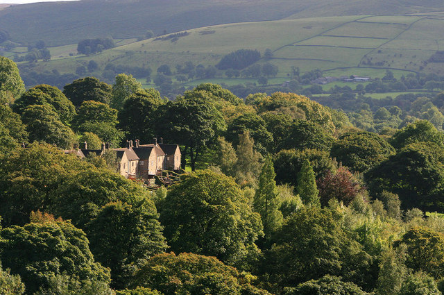
Image: © David Lally Taken: 16 Sep 2010
Presumably water board houses built for workers at the nearby treatment works. Taken from the Ladybower dam.
Images are licensed for reuse under creativecommons.org/licenses/by-sa/2.0
Image Location
Latitude
53.361051
Longitude
-1.701243