Croesllanfro Roads
Introduction
The photograph on this page of Croesllanfro Roads by David Roberts as part of the Geograph project.
The Geograph project started in 2005 with the aim of publishing, organising and preserving representative images for every square kilometre of Great Britain, Ireland and the Isle of Man.

There are currently over 7.5m images from over 14,400 individuals and you can help contribute to the project by visiting https://www.geograph.org.uk
Croesllanfro Roads
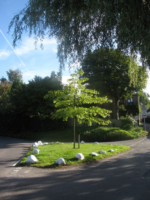
Image: © David Roberts Taken: 12 Sep 2010
White stones line a little green between roads at Croesllanfro. Cwm Lane leads off towards High Cross and Fourteen Locks Canal Centre on the left, Groes Road towards Rogerstone on the right.
Images are licensed for reuse under creativecommons.org/licenses/by-sa/2.0
Image Location
Latitude
51.598578
Longitude
-3.048115