Morton Way, Thornbury
Introduction
The photograph on this page of Morton Way, Thornbury by Robin Stott as part of the Geograph project.
The Geograph project started in 2005 with the aim of publishing, organising and preserving representative images for every square kilometre of Great Britain, Ireland and the Isle of Man.

There are currently over 7.5m images from over 14,400 individuals and you can help contribute to the project by visiting https://www.geograph.org.uk
Morton Way, Thornbury
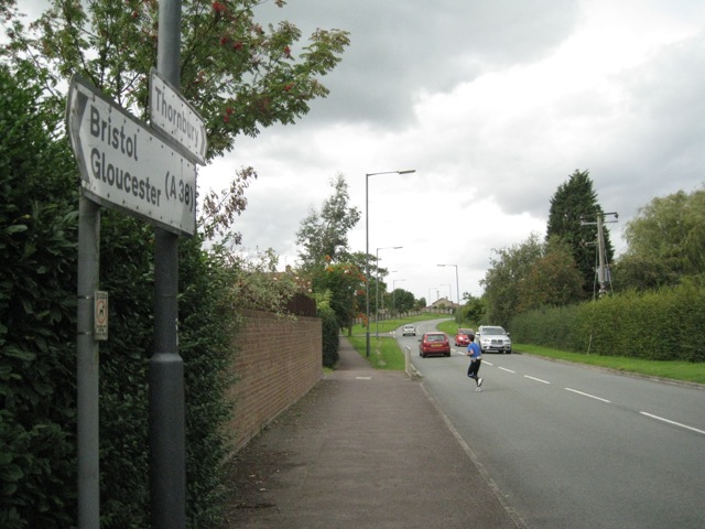
Image: © Robin Stott Taken: 18 Sep 2010
Morton Way is a perimeter road that forms the boundary to Thornbury's residential estates, on the left here. The view is north-ish from the end of Knapp Road. It continues east as Crossways Lane.
Images are licensed for reuse under creativecommons.org/licenses/by-sa/2.0
Image Location
Latitude
51.612221
Longitude
-2.509744