A village green in Alpheton
Introduction
The photograph on this page of A village green in Alpheton by Peter Barr as part of the Geograph project.
The Geograph project started in 2005 with the aim of publishing, organising and preserving representative images for every square kilometre of Great Britain, Ireland and the Isle of Man.

There are currently over 7.5m images from over 14,400 individuals and you can help contribute to the project by visiting https://www.geograph.org.uk
A village green in Alpheton
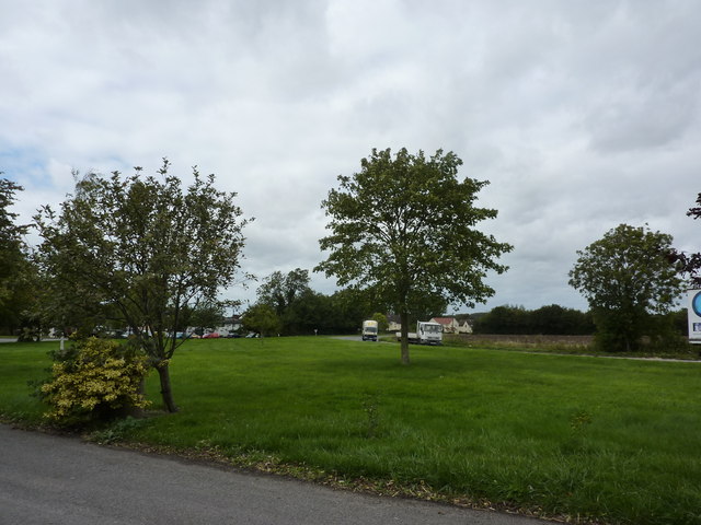
Image: © Peter Barr Taken: 15 Sep 2010
The A134 from Sudbury to Bury St.Edmunds runs through the village.
Images are licensed for reuse under creativecommons.org/licenses/by-sa/2.0
Image Location
Latitude
52.123466
Longitude
0.747752