Westlink grass, Belfast
Introduction
The photograph on this page of Westlink grass, Belfast by Albert Bridge as part of the Geograph project.
The Geograph project started in 2005 with the aim of publishing, organising and preserving representative images for every square kilometre of Great Britain, Ireland and the Isle of Man.

There are currently over 7.5m images from over 14,400 individuals and you can help contribute to the project by visiting https://www.geograph.org.uk
Westlink grass, Belfast
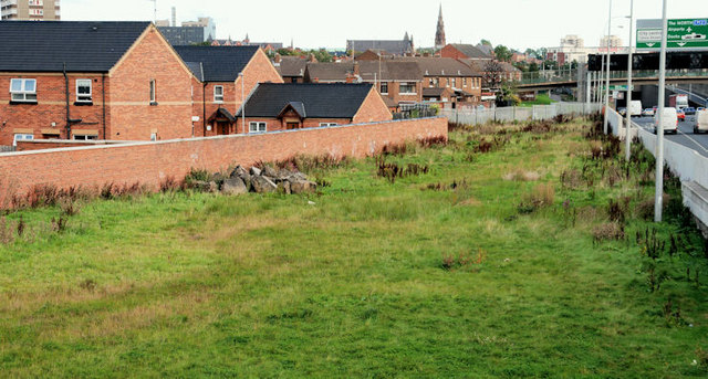
Image: © Albert Bridge Taken: 24 Sep 2010
A grassed area between the houses off the Cullingtree Road (left) and the Westlink Image It came about after the replacement of the Grosvenor Road roundabout by a flyover Image The absence of landscaping could generate a conspiracy theory that it might become a northbound sliproad at some future date.
Images are licensed for reuse under creativecommons.org/licenses/by-sa/2.0
Image Location
Latitude
54.596093
Longitude
-5.94236