The Westlink, Grosvenor Road, Belfast
Introduction
The photograph on this page of The Westlink, Grosvenor Road, Belfast by Albert Bridge as part of the Geograph project.
The Geograph project started in 2005 with the aim of publishing, organising and preserving representative images for every square kilometre of Great Britain, Ireland and the Isle of Man.

There are currently over 7.5m images from over 14,400 individuals and you can help contribute to the project by visiting https://www.geograph.org.uk
The Westlink, Grosvenor Road, Belfast
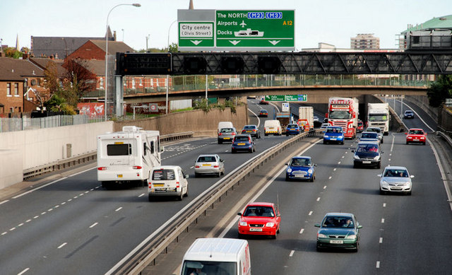
Image: © Albert Bridge Taken: 24 Sep 2010
Traffic flowing freely on the Westlink, looking towards the M2 at the Grosvenor Road. Since the building of the flyover Image queues tend to be limited to peaks and can usually be attributed to the absence of a flyover at York Street Image
Images are licensed for reuse under creativecommons.org/licenses/by-sa/2.0
Image Location
Latitude
54.59697
Longitude
-5.941078