North Downs Way on Western Heights
Introduction
The photograph on this page of North Downs Way on Western Heights by Chris Heaton as part of the Geograph project.
The Geograph project started in 2005 with the aim of publishing, organising and preserving representative images for every square kilometre of Great Britain, Ireland and the Isle of Man.

There are currently over 7.5m images from over 14,400 individuals and you can help contribute to the project by visiting https://www.geograph.org.uk
North Downs Way on Western Heights
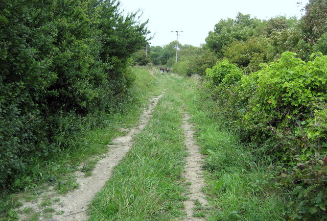
Image: © Chris Heaton Taken: 13 Sep 2010
The National Trail compels its walkers to climb a steep hill over Western Heights before dropping down into the town of Dover.
Images are licensed for reuse under creativecommons.org/licenses/by-sa/2.0
Image Location
Latitude
51.118534
Longitude
1.302924