Arable field near Whitfield Estate
Introduction
The photograph on this page of Arable field near Whitfield Estate by Philip Halling as part of the Geograph project.
The Geograph project started in 2005 with the aim of publishing, organising and preserving representative images for every square kilometre of Great Britain, Ireland and the Isle of Man.

There are currently over 7.5m images from over 14,400 individuals and you can help contribute to the project by visiting https://www.geograph.org.uk
Arable field near Whitfield Estate
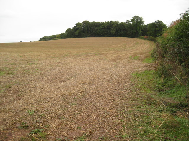
Image: © Philip Halling Taken: 18 Sep 2010
The small wood in the background is Kiln Brake.
Images are licensed for reuse under creativecommons.org/licenses/by-sa/2.0
Image Location
Latitude
52.000273
Longitude
-2.839847