The rails divide at Reading
Introduction
The photograph on this page of The rails divide at Reading by Derek Harper as part of the Geograph project.
The Geograph project started in 2005 with the aim of publishing, organising and preserving representative images for every square kilometre of Great Britain, Ireland and the Isle of Man.

There are currently over 7.5m images from over 14,400 individuals and you can help contribute to the project by visiting https://www.geograph.org.uk
The rails divide at Reading
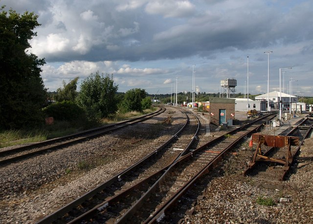
Image: © Derek Harper Taken: 8 Sep 2010
The southern corner of Reading West Junction northeast of the station, with track diverging to the left to join the GWR line along the Thames Valley. On the right, a buffer ends a siding.
Images are licensed for reuse under creativecommons.org/licenses/by-sa/2.0
Image Location
Latitude
51.456752
Longitude
-0.98944