Lower Kingswood Evangelical Church
Introduction
The photograph on this page of Lower Kingswood Evangelical Church by Ian Capper as part of the Geograph project.
The Geograph project started in 2005 with the aim of publishing, organising and preserving representative images for every square kilometre of Great Britain, Ireland and the Isle of Man.

There are currently over 7.5m images from over 14,400 individuals and you can help contribute to the project by visiting https://www.geograph.org.uk
Lower Kingswood Evangelical Church
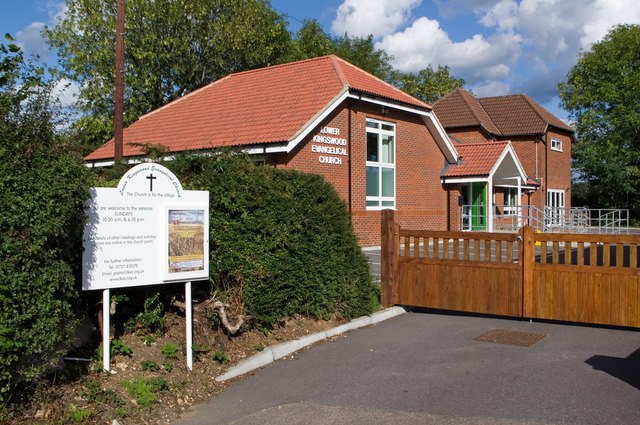
Image: © Ian Capper Taken: 12 Sep 2010
New church building opened in 2008, for a church that has been in the village since 1923.
Images are licensed for reuse under creativecommons.org/licenses/by-sa/2.0
Image Location
Latitude
51.270676
Longitude
-0.210017