Roundabout on the A67 road
Introduction
The photograph on this page of Roundabout on the A67 road by Philip Barker as part of the Geograph project.
The Geograph project started in 2005 with the aim of publishing, organising and preserving representative images for every square kilometre of Great Britain, Ireland and the Isle of Man.

There are currently over 7.5m images from over 14,400 individuals and you can help contribute to the project by visiting https://www.geograph.org.uk
Roundabout on the A67 road
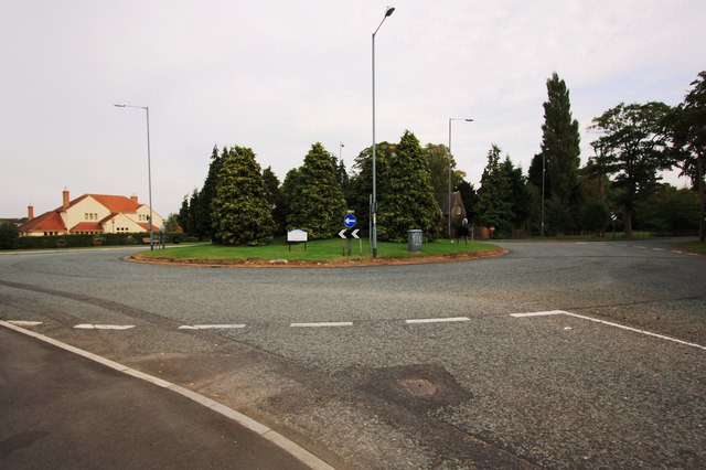
Image: © Philip Barker Taken: 22 Sep 2010
This photograph shows a view of a roundabout that facilitates the intersection of the A1044 road (behind the trees on the roundabout), the A67 road (to the left and right) and the B1264 road (from where the photo was taken). The Golden Jubilee hostelry is just visible to the left of the roundabout. The picture was taken looking in an east-north-easterly direction towards Roselea.
Images are licensed for reuse under creativecommons.org/licenses/by-sa/2.0
Image Location
Latitude
54.496505
Longitude
-1.343475