Paddock near Cleve Wood Farm
Introduction
The photograph on this page of Paddock near Cleve Wood Farm by Robin Stott as part of the Geograph project.
The Geograph project started in 2005 with the aim of publishing, organising and preserving representative images for every square kilometre of Great Britain, Ireland and the Isle of Man.

There are currently over 7.5m images from over 14,400 individuals and you can help contribute to the project by visiting https://www.geograph.org.uk
Paddock near Cleve Wood Farm
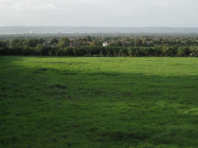
Image: © Robin Stott Taken: 20 Sep 2010
The view from the summit of Grovesend Road is across the eastern side of Thornbury to the river Severn, with Oldbury power station on the left.
Images are licensed for reuse under creativecommons.org/licenses/by-sa/2.0
Image Location
Latitude
51.600564
Longitude
-2.502394