Tree-lined eastern side of Avondale Road
Introduction
The photograph on this page of Tree-lined eastern side of Avondale Road by Jaggery as part of the Geograph project.
The Geograph project started in 2005 with the aim of publishing, organising and preserving representative images for every square kilometre of Great Britain, Ireland and the Isle of Man.

There are currently over 7.5m images from over 14,400 individuals and you can help contribute to the project by visiting https://www.geograph.org.uk
Tree-lined eastern side of Avondale Road
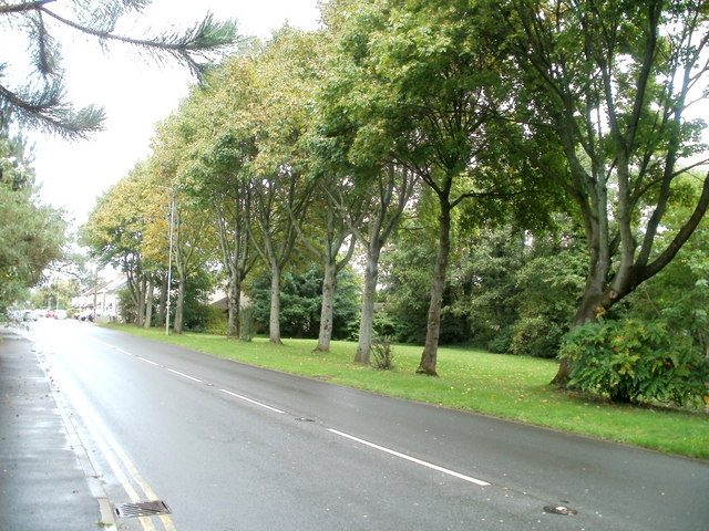
Image: © Jaggery Taken: 23 Sep 2010
For about 300 metres north of the turning for Caldicot Way, there are no buildings on the east side of Avondale Road. Trees line a narrow strip of land between the roadway and railway lines.
Images are licensed for reuse under creativecommons.org/licenses/by-sa/2.0
Image Location
Latitude
51.665562
Longitude
-3.01785