Leahill Farm
Introduction
The photograph on this page of Leahill Farm by Oliver Dixon as part of the Geograph project.
The Geograph project started in 2005 with the aim of publishing, organising and preserving representative images for every square kilometre of Great Britain, Ireland and the Isle of Man.

There are currently over 7.5m images from over 14,400 individuals and you can help contribute to the project by visiting https://www.geograph.org.uk
Leahill Farm
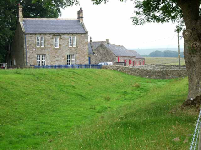
Image: © Oliver Dixon Taken: 20 Jul 2006
The north defensive ditch associated with the Roman Wall can be clearly seen.
Images are licensed for reuse under creativecommons.org/licenses/by-sa/2.0
Image Location
Latitude
54.978741
Longitude
-2.654618