Access lane from the A2 near Maggy's Leap
Introduction
The photograph on this page of Access lane from the A2 near Maggy's Leap by Eric Jones as part of the Geograph project.
The Geograph project started in 2005 with the aim of publishing, organising and preserving representative images for every square kilometre of Great Britain, Ireland and the Isle of Man.

There are currently over 7.5m images from over 14,400 individuals and you can help contribute to the project by visiting https://www.geograph.org.uk
Access lane from the A2 near Maggy's Leap
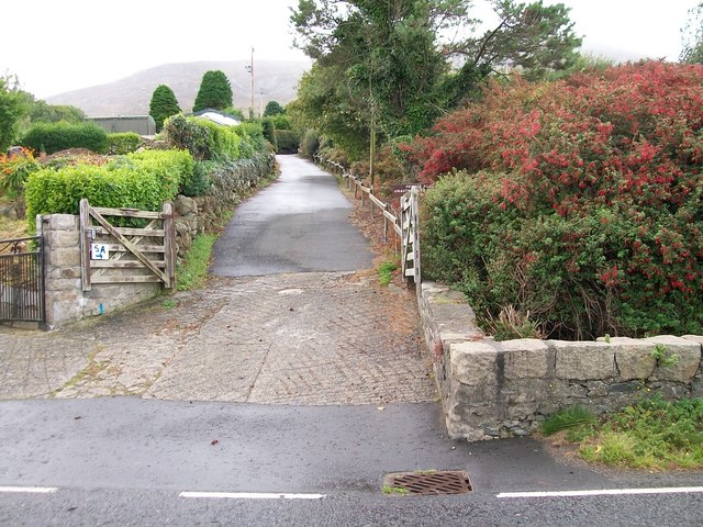
Image: © Eric Jones Taken: 11 Sep 2010
This lane alongside the Srupatrick stream affords access on foot only to the Donard Forest.
Images are licensed for reuse under creativecommons.org/licenses/by-sa/2.0
Image Location
Latitude
54.184967
Longitude
-5.877352