Curving onto the M4
Introduction
The photograph on this page of Curving onto the M4 by J Whatley as part of the Geograph project.
The Geograph project started in 2005 with the aim of publishing, organising and preserving representative images for every square kilometre of Great Britain, Ireland and the Isle of Man.

There are currently over 7.5m images from over 14,400 individuals and you can help contribute to the project by visiting https://www.geograph.org.uk
Curving onto the M4
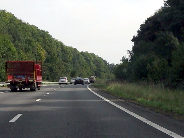
Image: © J Whatley Taken: 22 Sep 2010
The eastbound carriageway of the A48(M) curves steadily before descending to the M4 at junction 29.
Images are licensed for reuse under creativecommons.org/licenses/by-sa/2.0
Image Location
Latitude
51.551794
Longitude
-3.070981