Between the roundabouts
Introduction
The photograph on this page of Between the roundabouts by J Whatley as part of the Geograph project.
The Geograph project started in 2005 with the aim of publishing, organising and preserving representative images for every square kilometre of Great Britain, Ireland and the Isle of Man.

There are currently over 7.5m images from over 14,400 individuals and you can help contribute to the project by visiting https://www.geograph.org.uk
Between the roundabouts
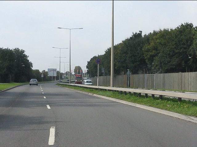
Image: © J Whatley Taken: 22 Sep 2010
The A48 seen from the exit of Hartridge Farm Road roundabout, with the next junction plainly in view.
Images are licensed for reuse under creativecommons.org/licenses/by-sa/2.0
Image Location
Latitude
51.58538
Longitude
-2.939559