Tudor House, Lower St
Introduction
The photograph on this page of Tudor House, Lower St by N Chadwick as part of the Geograph project.
The Geograph project started in 2005 with the aim of publishing, organising and preserving representative images for every square kilometre of Great Britain, Ireland and the Isle of Man.

There are currently over 7.5m images from over 14,400 individuals and you can help contribute to the project by visiting https://www.geograph.org.uk
Tudor House, Lower St
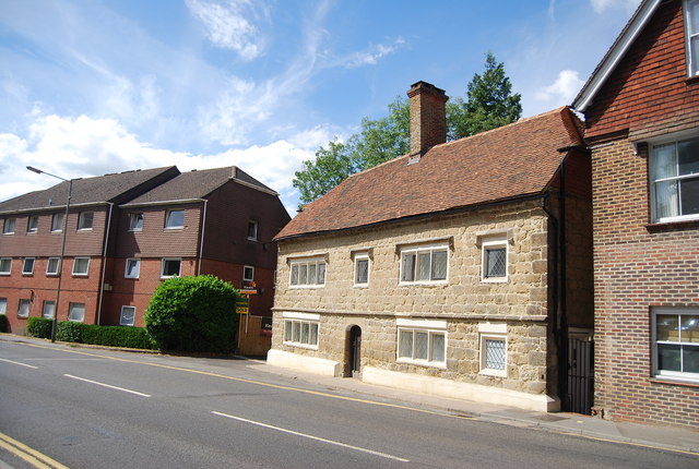
Image: © N Chadwick Taken: 11 Jul 2010
A Grade II* listed building. The building formerly known as Skinners reflects the wealth of the fur trade in the 17th & 18th centuries. http://www.britishlistedbuildings.co.uk/en-449421-tudor-house-haslemere
Images are licensed for reuse under creativecommons.org/licenses/by-sa/2.0
Image Location
Latitude
51.088992
Longitude
-0.716183