St Francis Water Tower
Introduction
The photograph on this page of St Francis Water Tower by Geoff Dent as part of the Geograph project.
The Geograph project started in 2005 with the aim of publishing, organising and preserving representative images for every square kilometre of Great Britain, Ireland and the Isle of Man.

There are currently over 7.5m images from over 14,400 individuals and you can help contribute to the project by visiting https://www.geograph.org.uk
St Francis Water Tower
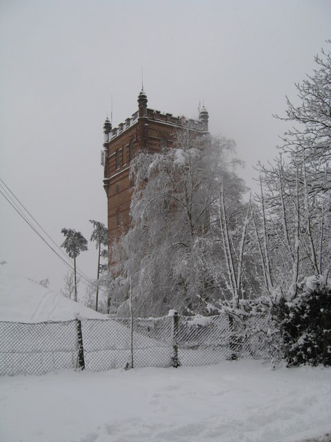
Image: © Geoff Dent Taken: 6 Jan 2010
First heavy snow in 20 years covering Haywards Heath in January 2010. The tower was part of the old St Francis Hospital formerly a mental hospital, now a residential development. The tower was used during the war as a landmark by incoming bombers heading for London.
Images are licensed for reuse under creativecommons.org/licenses/by-sa/2.0
Image Location
Latitude
50.991012
Longitude
-0.093492