Tunnel and Flyover at Round Hill
Introduction
The photograph on this page of Tunnel and Flyover at Round Hill by Chris Heaton as part of the Geograph project.
The Geograph project started in 2005 with the aim of publishing, organising and preserving representative images for every square kilometre of Great Britain, Ireland and the Isle of Man.

There are currently over 7.5m images from over 14,400 individuals and you can help contribute to the project by visiting https://www.geograph.org.uk
Tunnel and Flyover at Round Hill
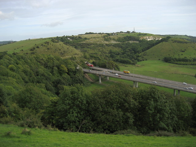
Image: © Chris Heaton Taken: 13 Sep 2010
The A20 road between Dover and Folkestone emerging from beneath Round Hill.
Images are licensed for reuse under creativecommons.org/licenses/by-sa/2.0
Image Location
Latitude
51.099653
Longitude
1.166144