Howards Way
Introduction
The photograph on this page of Howards Way by Burgess Von Thunen as part of the Geograph project.
The Geograph project started in 2005 with the aim of publishing, organising and preserving representative images for every square kilometre of Great Britain, Ireland and the Isle of Man.

There are currently over 7.5m images from over 14,400 individuals and you can help contribute to the project by visiting https://www.geograph.org.uk
Howards Way
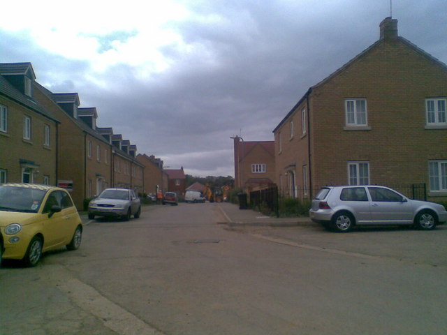
Image: © Burgess Von Thunen Taken: 21 Sep 2010
A new development by Twigden Homes called Parklands. It's near the area of Northampton called Parklands but cars can only access it from Talavera Way.
Images are licensed for reuse under creativecommons.org/licenses/by-sa/2.0
Image Location
Latitude
52.272807
Longitude
-0.862095