The entrance to Rosecraddoc Manor
Introduction
The photograph on this page of The entrance to Rosecraddoc Manor by Rod Allday as part of the Geograph project.
The Geograph project started in 2005 with the aim of publishing, organising and preserving representative images for every square kilometre of Great Britain, Ireland and the Isle of Man.

There are currently over 7.5m images from over 14,400 individuals and you can help contribute to the project by visiting https://www.geograph.org.uk
The entrance to Rosecraddoc Manor
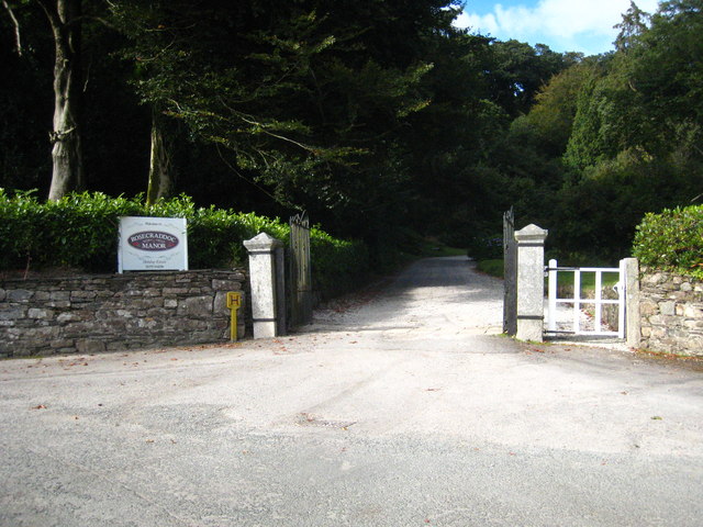
Image: © Rod Allday Taken: 18 Sep 2010
The manor was built in the 1820s on the site of a much older house mentioned in the Domesday Book. It is Grade II listed, along with two bridges in the grounds, and has now been converted into holiday apartments and villas http://rosecraddocmanor.co.uk.
Images are licensed for reuse under creativecommons.org/licenses/by-sa/2.0
Image Location
Latitude
50.483577
Longitude
-4.445409