Lossiemouth Road
Introduction
The photograph on this page of Lossiemouth Road by Anne Burgess as part of the Geograph project.
The Geograph project started in 2005 with the aim of publishing, organising and preserving representative images for every square kilometre of Great Britain, Ireland and the Isle of Man.

There are currently over 7.5m images from over 14,400 individuals and you can help contribute to the project by visiting https://www.geograph.org.uk
Lossiemouth Road
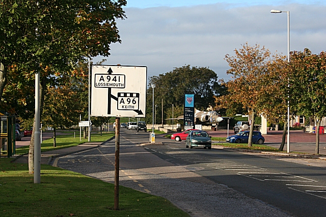
Image: © Anne Burgess Taken: 20 Sep 2010
Leaving Elgin towards the north, there is an old-style signpost which has somehow eluded the attentions of the roads authority. Interestingly, the new-style one behind it doesn't mention Keith, but directs traffic to the Cathedral and to Fochabers. On the right is the Buccaneer aircraft which stands in the Buccaneer Service Station.
Images are licensed for reuse under creativecommons.org/licenses/by-sa/2.0
Image Location
Latitude
57.662127
Longitude
-3.31266