Towards the sand pit at Withington
Introduction
The photograph on this page of Towards the sand pit at Withington by Richard Law as part of the Geograph project.
The Geograph project started in 2005 with the aim of publishing, organising and preserving representative images for every square kilometre of Great Britain, Ireland and the Isle of Man.

There are currently over 7.5m images from over 14,400 individuals and you can help contribute to the project by visiting https://www.geograph.org.uk
Towards the sand pit at Withington
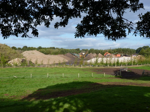
Image: © Richard Law Taken: 17 Sep 2010
A view across the fields west of Catchpenny Pool to the sand workings near Dairy House Farm
Images are licensed for reuse under creativecommons.org/licenses/by-sa/2.0
Image Location
Latitude
53.239916
Longitude
-2.284648