South Tawton: towards Belstone Cleave
Introduction
The photograph on this page of South Tawton: towards Belstone Cleave by Martin Bodman as part of the Geograph project.
The Geograph project started in 2005 with the aim of publishing, organising and preserving representative images for every square kilometre of Great Britain, Ireland and the Isle of Man.

There are currently over 7.5m images from over 14,400 individuals and you can help contribute to the project by visiting https://www.geograph.org.uk
South Tawton: towards Belstone Cleave
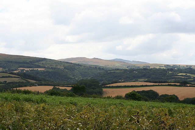
Image: © Martin Bodman Taken: 23 Jul 2006
Belstone Cleave is the wooded valley in the distance - in it runs the infant river Taw from Dartmoor. Above the Cleave stand Belstone Tor and Higher Tor; with, probably, Yes Tor beyond. Looking south west by the road between Spitlar Cross and Tawmoor Cross
Images are licensed for reuse under creativecommons.org/licenses/by-sa/2.0
Image Location


Leaflet Map data © OpenStreetMap
Latitude
50.748807
Longitude
-3.895697