Field, Ballygilbert near Bangor (1)
Introduction
The photograph on this page of Field, Ballygilbert near Bangor (1) by Albert Bridge as part of the Geograph project.
The Geograph project started in 2005 with the aim of publishing, organising and preserving representative images for every square kilometre of Great Britain, Ireland and the Isle of Man.

There are currently over 7.5m images from over 14,400 individuals and you can help contribute to the project by visiting https://www.geograph.org.uk
Field, Ballygilbert near Bangor (1)
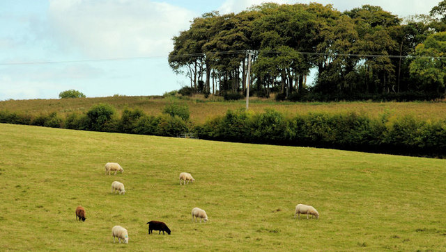
Image: © Albert Bridge Taken: 20 Sep 2010
Part of a large field, grazed by sheep, beside the Belfast Road at Ballygilbert. The Jan Mayen Clump Image is at top right. Meadow Way (Burnside Park on the Google map) is marked by the hedge line across the middle of the photograph.
Images are licensed for reuse under creativecommons.org/licenses/by-sa/2.0
Image Location
Latitude
54.65171
Longitude
-5.740741