Baloos, Wheatsheaf Road
Introduction
The photograph on this page of Baloos, Wheatsheaf Road by Simon Carey as part of the Geograph project.
The Geograph project started in 2005 with the aim of publishing, organising and preserving representative images for every square kilometre of Great Britain, Ireland and the Isle of Man.

There are currently over 7.5m images from over 14,400 individuals and you can help contribute to the project by visiting https://www.geograph.org.uk
Baloos, Wheatsheaf Road
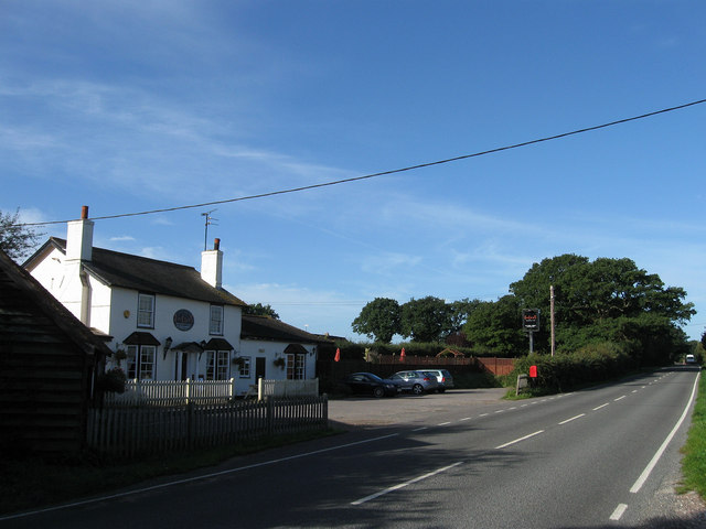
Image: © Simon Carey Taken: 18 Sep 2010
The pub was the Wheatsheaf Inn until three years ago when it changed to its current name and had been in existence since the early 19th century being established enough by 1840 to have a couple of fields named after it in the tithe map. The name may have gone but still lives on in the name of the B2116 from the junction with Wineham Lane to Crouch Hill on the A281.
Images are licensed for reuse under creativecommons.org/licenses/by-sa/2.0
Image Location
Latitude
50.949782
Longitude
-0.239826