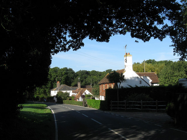
Houses, Wheatsheaf Road
Introduction
The photograph on this page of Houses, Wheatsheaf Road by Simon Carey as part of the Geograph project.
The Geograph project started in 2005 with the aim of publishing, organising and preserving representative images for every square kilometre of Great Britain, Ireland and the Isle of Man.
There are currently over 7.5m images from over 14,400 individuals and you can help contribute to the project by visiting https://www.geograph.org.uk

Image: © Simon Carey Taken: 18 Sep 2010
From right to left; Apple Acre, Little Finches and Border View Cottage. Little Finches dates from at least the 17th century and may be earlier the other two from the late 19th century. Border View may be named as it is sited directly next to a parish boundary, being in Henfield with the other two in Shermanbury whilst the southern side of the road which includes the entrance to Brighton & Hove greyhound kennels is in Woodmancote. The road is the B2116 which actually has two names being officially called Wheatsheaf Road (Also known as Albourne Road).

